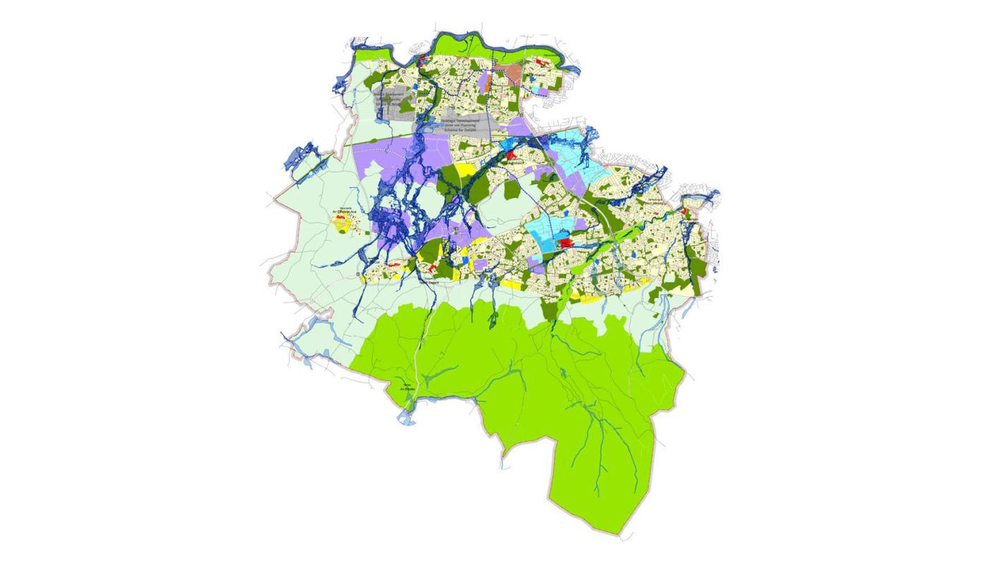
Map of the South Dublin County Development Plan.
Undertaking a strategic hydromorphological assessment of major rivers within South Dublin County

As part of the South Dublin Strategic Flood Risk Assessment (SFRA), ROD completed a strategic hydromorphological assessment of major rivers within South Dublin County.
Our assessment aided the delineation of floodplain boundaries by using morphological features to identify functional riparian zones.
It also provided the basis for sustainable zoning policies that create ‘room for the river’ and, over time, allow river systems to return to a state of equilibrium, with rich biodiversity, developed ecosystem service provision and resilience to future shocks, such as climate change.
Adopting this approach assisted us in meeting our objectives under the EU Water Framework and Floods Directives.
The Water Framework Directive (WFD) identifies hydromorphological integrity as one of three key criteria for determining waterbody status, ecology and physio-chemical making up the other two. High status hydromorphology is an indicator of overall high-good waterbody status and resilience within the catchment.
Recent decades have seen an increased awareness of the role riparian zones play in controlling hydromorphological processes. A key driver in this has been a deeper interest in the interactions along aquatic-terrestrial fringes, initially in relation to fisheries and, more recently, in relation to the effects of ecosystem diversity and resilience to climate change.
The relationship between riparian corridors and nutrient processing is also more widely understood i.e. riparian corridors help treat pollutants by acting as buffers between upland areas and open water.
The key output of the strategic assessment was the delineation of riparian corridors along the major rivers within the county.
Development level hydromorphological assessments are undertaken where lands are partially or wholly within the riparian corridors identified as part of the development plan.
The development hydromorphological assessment will:
Hydromorphological assessment
